Temperature mapping in recent years has emerged as a valuable tool for enhancing public health, especially in cities like Riyadh, Dammam, and Jeddah. With temperatures often soaring above 40°C (104°F) during summer, understanding and managing heat exposure is crucial for the well-being of residents. But what exactly is temperature mapping, and how does it help improve public health in these cities?
What is Temperature Mapping?
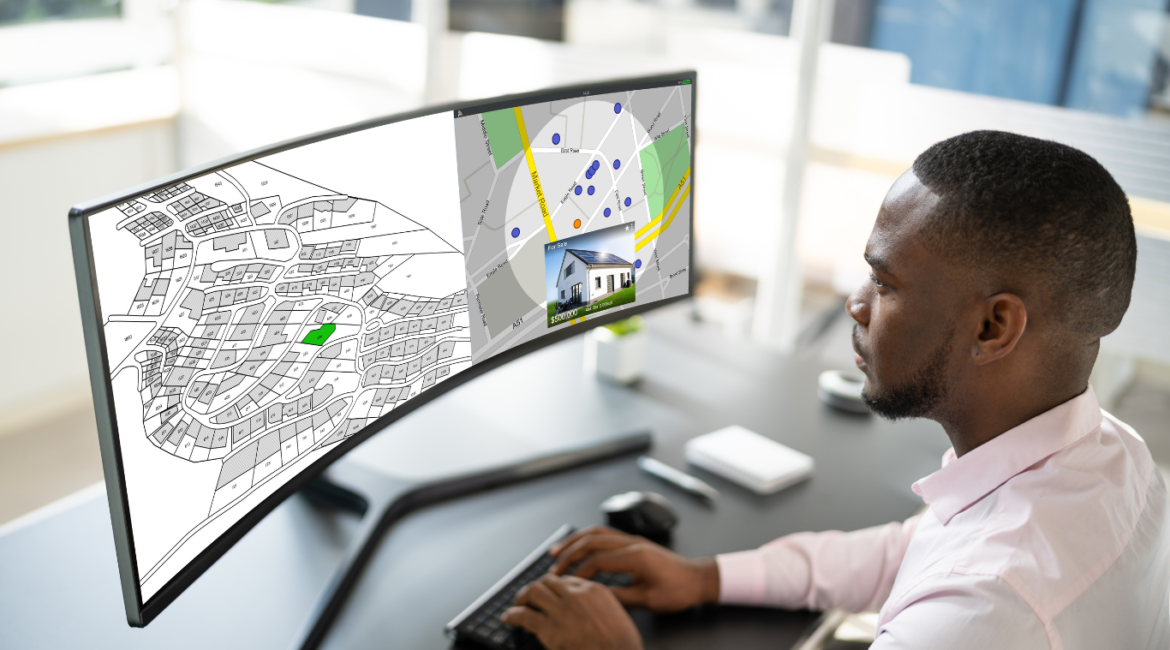
Temperature mapping involves the collection and analysis of temperature data across different areas of a city. This data can be gathered using various technologies, such as satellites, drones, weather stations, and even sensors placed in strategic locations throughout the city. By creating detailed maps of temperature variations, we can identify “hot spots” where temperatures are significantly higher than surrounding areas. These hot spots are often caused by urban heat islands—areas with a high concentration of buildings, roads, and other infrastructure that absorb and retains heat.
Why is Temperature Mapping Important for Public Health?
High temperatures can pose serious health risks, particularly for vulnerable populations such as the elderly, young children, and those with pre-existing health conditions. Prolonged exposure to extreme heat can lead to heat-related illnesses, including heat exhaustion and heatstroke, and can worsen chronic conditions like heart disease and respiratory problems.
In Riyadh, Dammam, and Jeddah, temperature mapping helps public health officials and city planners understand where the highest risks are located. This information is crucial for developing targeted public health initiatives and emergency response plans. For example, during heatwaves, cities can use temperature maps to prioritize areas for distributing resources like water, cooling stations, and medical services.
How Temperature Mapping Supports Public Health Initiatives
- Identifying Vulnerable Areas: Temperature maps allow city officials to pinpoint neighborhoods that are most at risk during extreme heat events. These areas can then be prioritized for interventions, such as planting trees, installing green roofs, or creating shaded areas to reduce temperatures.
- Improving Emergency Preparedness: By understanding where heat tends to concentrate, emergency services can develop more effective plans for responding to heat-related emergencies. This could include setting up temporary cooling centers in hot spots or increasing the availability of emergency medical services in these areas.
- Enhancing Public Awareness: Temperature mapping can also be used to educate the public about heat risks. By making temperature maps available to the public, city officials can raise awareness about which areas are hottest and provide advice on how to stay safe during extreme heat.
- Supporting Long-Term Urban Planning: In the long run, temperature mapping data can inform city planning and development decisions. For instance, city planners can use this data to design cooler, more livable neighborhoods by incorporating more green spaces and water features that help mitigate heat.
Our Role in Temperature Mapping Services
We specialize in providing comprehensive temperature mapping services in Riyadh, Dammam, and Jeddah. Our advanced technology and expertise allow us to deliver precise and reliable temperature data, which is essential for developing effective public health strategies. By partnering with local governments, health agencies, and community organizations, we aim to enhance the quality of life for residents by helping to create safer, cooler, and healthier urban environments.
Conclusion
Temperature mapping is a powerful tool for enhancing public health, particularly in cities with extreme heat like Riyadh, Dammam, and Jeddah. By providing valuable insights into where heat risks are most significant, temperature mapping helps city officials and health professionals to better protect residents from the dangers of extreme heat. As we continue to provide temperature mapping services, we are committed to supporting these cities in their efforts to promote public health and safety.
you can get more information on our site: Redlines.com