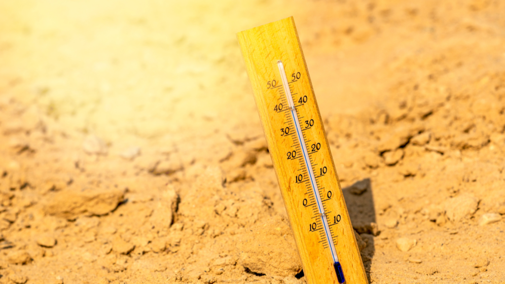
In Saudi Arabia, extreme temperatures can significantly impact road infrastructure, leading to wear and tear that affects safety and usability. This is where temperature mapping plays a crucial role. By providing valuable data on temperature variations across different areas, engineers and city planners can make informed decisions to manage road conditions effectively.
Understanding Temperature Mapping
Temperature mapping involves collecting and analyzing temperature data from various locations. This process helps identify areas that experience extreme heat and enables engineers to assess the potential impact on road materials and structures. In cities like Riyadh, Dammam, and Jeddah, where temperatures can soar, this data is essential for maintaining road safety.
How Temperature Mapping Improves Road Safety
- Identifying Hot Spots: By using temperature mapping, engineers can pinpoint specific areas on roads that are more prone to heat-related damage. These hot spots may include regions with heavy traffic or areas lacking shade.
- Optimizing Material Choices: Understanding temperature patterns allows planners to select appropriate materials for road construction and maintenance. For example, they can choose heat-resistant materials that can withstand extreme temperatures, reducing the risk of cracking or deformation.
- Timely Maintenance: With data from temperature mapping, city planners can schedule maintenance activities more effectively. Knowing which roads are at higher risk of damage due to heat can help prioritize repairs and maintenance, ensuring that critical infrastructure remains safe for use.
- Enhancing Traffic Management: Temperature data can also inform traffic management strategies. For instance, if certain roads are identified as high-risk areas during peak heat periods, planners can implement measures such as traffic rerouting or temporary road closures to prevent accidents.

The Role of Redlines
At Redlines, we provide specialized temperature mapping services in Riyadh, Dammam, and Jeddah. Our team utilizes advanced technology to gather and analyze temperature data, helping engineers and planners develop effective strategies for managing road conditions. By partnering with us, cities can enhance road safety and extend the lifespan of their infrastructure.
Conclusion
Temperature mapping is an essential tool for managing heat-related degradation of road infrastructure in Saudi cities. By leveraging this data, engineers and planners can improve road safety, optimize material choices, and ensure timely maintenance. With the support of Redlines, cities like Riyadh, Dammam, and Jeddah can proactively address the challenges posed by extreme heat, creating safer and more durable roadways for all users.
you can get more information on our site: Redlines.com


