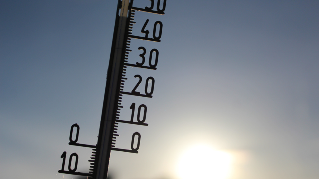
As climate change reshapes weather patterns worldwide, cities like Riyadh, Dammam, and Jeddah are particularly vulnerable to rising temperatures. Adapting to these shifts requires understanding the unique ways that temperatures vary throughout the year. Through seasonal temperature mapping, urban planners gain the ability to track how temperatures fluctuate across different times, enabling them to make informed decisions that protect infrastructure, improve energy use, and enhance public safety even in the face of climate variability.

How Seasonal Temperature Mapping Benefits Cities
- Improved Infrastructure Resilience: Seasonal temperature mapping allows cities to design and upgrade urban infrastructure—such as roads, bridges, and buildings—specifically to withstand seasonal heat variations. By understanding when and where temperatures spike, planners can ensure infrastructure is resilient to extreme conditions, reducing costly repairs and preventing structural damage due to temperature-related stress.
- Efficient Energy Planning: Seasonal heat data helps cities make smarter decisions about energy distribution and cooling needs, especially during peak hot months. This data enables buildings to become more energy-efficient by adjusting cooling requirements, ensuring that residents stay comfortable year-round without excessive energy consumption.
- Enhanced Public Health Measures: Tracking seasonal heat patterns allows cities to prepare effectively for potential heatwaves. Data from temperature mapping is critical for identifying high-risk zones where vulnerable populations may face higher health risks. Cities can strategically deploy resources, such as cooling centers, to safeguard public health and improve the overall quality of urban life.
Redlines’ Role in Seasonal Temperature Mapping
Redlines offers specialized temperature mapping services in Riyadh, Dammam, and Jeddah, supporting cities in their adaptation to a changing climate. Through in-depth analysis of seasonal temperature trends, Redlines provides local authorities and urban planners with valuable insights that facilitate the development of heat-adapted environments. Our expertise in temperature mapping empowers these cities to pursue sustainable urban development strategies that account for climate challenges, ensuring safer, more resilient, and livable urban spaces for all residents. development that meets the challenges of a warming climate.
you can get more information on our site: Redlines.com


