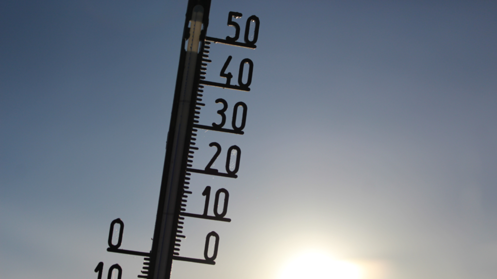
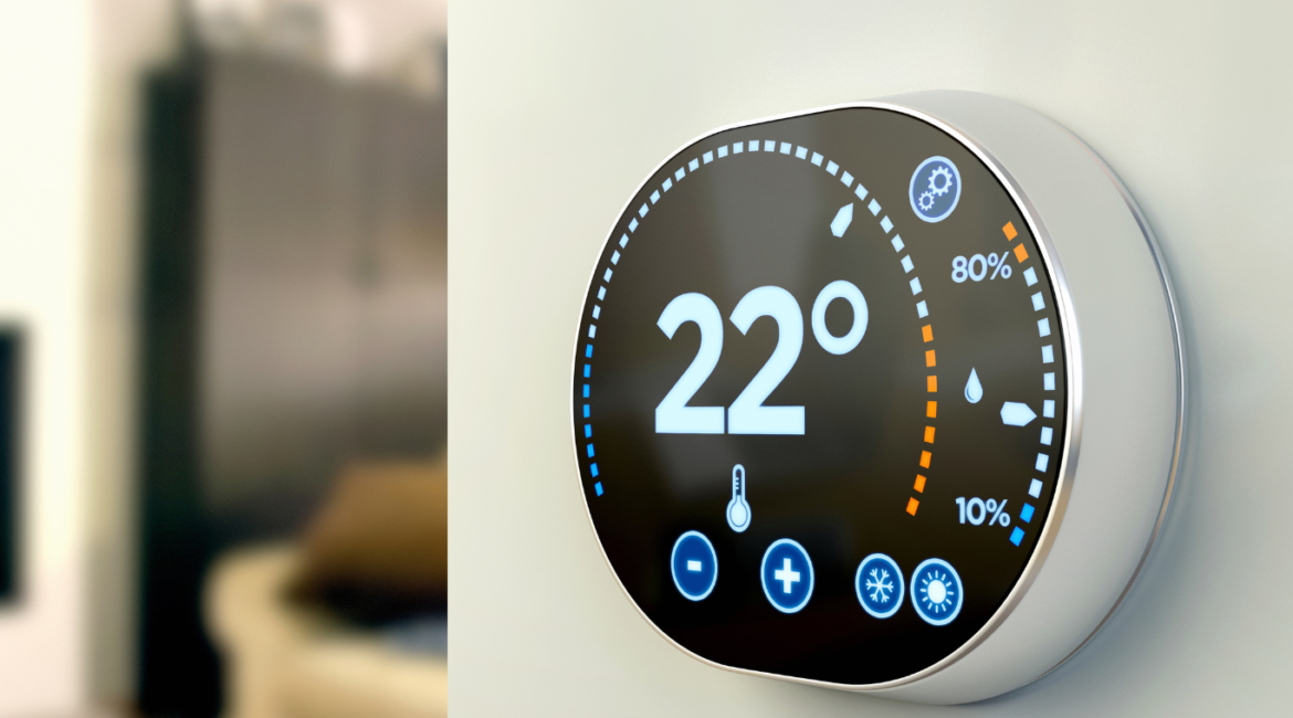
With the increasing frequency of extreme weather events, cities like Riyadh, Dammam, and Jeddah need innovative solutions to monitor and respond to these challenges. One of the most effective tools is real-time temperature mapping, which helps city planners and emergency teams track changes in temperature and anticipate potential risks during severe weather conditions.
How Real-time Temperature Mapping Works
Real-time temperature mapping involves collecting temperature data continuously from various sources, such as sensors, satellites, and drones. This data is then analyzed and visually presented, allowing decision-makers to understand where and how temperatures are rising and evolving over time. This real-time information is critical during heatwaves, sandstorms, and other emergency weather events, providing early warnings and enabling cities to act quickly to protect their populations.

Benefits for Disaster Preparedness
- Monitoring Heatwaves: In cities like Riyadh, Dammam, and Jeddah, where temperatures can soar, real-time temperature mapping identifies “hot zones” and alerts authorities to take necessary actions, such as opening cooling centers or issuing heatwave warnings.
- Early Weather Alerts: By tracking real-time temperature changes, authorities can predict sudden weather shifts and take preventive measures, reducing the risk of disasters such as heat-related illnesses or infrastructure damage.
- Mitigating Urban Risks: Real-time temperature mapping also identifies vulnerable areas in the city, such as densely populated neighborhoods or critical infrastructure, ensuring that resources are deployed where they are needed most during disasters.
Redlines’ Contribution to Temperature Mapping
At Redlines, we are proud to offer cutting-edge temperature mapping services in Riyadh, Dammam, and Jeddah. Our advanced technologies enable real-time monitoring and analysis, helping cities prepare and mitigate the effects of extreme weather. Whether for disaster preparedness or long-term urban planning, our services contribute to making cities safer and more resilient.
By integrating real-time temperature mapping into disaster preparedness strategies, urban areas can stay ahead of extreme weather events, protecting both infrastructure and communities.
you can get more information on our site: Redlines.com


