As temperatures in Saudi Arabia’s major cities—Riyadh, Dammam, and Jeddah—continue to rise, the need for accurate and reliable temperature mapping has become increasingly important. Temperature mapping helps city planners, public health officials, and businesses understand the distribution of heat across different areas, allowing them to make better decisions to protect residents and improve city planning. With the advancement of technology, high-tech approaches to temperature mapping have made this process more precise and efficient. In this article, we’ll explore the latest technologies used for temperature mapping in Riyadh, Dammam, and Jeddah, and discuss how our services are contributing to this vital effort.
What is Temperature Mapping?
Temperature mapping involves collecting data about the temperature at various locations and creating a detailed map that shows how heat is distributed across a city. This map helps identify “hot spots” where temperatures are higher than average. Understanding these patterns is crucial for a range of applications, from designing more comfortable public spaces to planning emergency responses during heatwaves.
The Importance of Temperature Mapping in Saudi Arabia
In cities like Riyadh, Dammam, and Jeddah, where summer temperatures can exceed 50°C (122°F), understanding local temperature variations is essential. Heat can have serious impacts on public health, particularly for vulnerable groups like the elderly, children, and those with existing health conditions. Furthermore, high temperatures can increase energy demand as people use more air conditioning, leading to higher costs and greater strain on the power grid.
Temperature mapping provides critical data that helps cities manage these challenges effectively. By knowing where the hottest areas are, city planners can design cooler, more livable urban environments, and public health officials can better protect residents during extreme heat events.
High-Tech Approaches to Temperature Mapping
Thanks to advancements in technology, temperature mapping has become more accurate and efficient. Here are some of the latest high-tech approaches used in Riyadh, Dammam, and Jeddah:
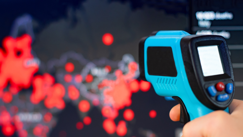
- Satellite Imaging: Satellites equipped with thermal sensors can capture temperature data over large areas. This technology provides a broad view of the city’s temperature distribution, including hard-to-reach areas. Satellite imaging is particularly useful for monitoring temperature changes over time, allowing cities to track the effectiveness of cooling strategies like increasing green spaces or using reflective materials on buildings.
- Drones: Drones equipped with infrared cameras can provide highly detailed temperature data at a lower altitude. Unlike satellites, drones can fly closer to the ground and cover specific areas in more detail. This technology is useful for mapping smaller areas such as neighborhoods or individual streets, helping to identify very localized hot spots.
- Sensor Networks: In some cities, networks of sensors are installed throughout the urban area to continuously monitor temperature and humidity levels. These sensors provide real-time data, which can be incredibly valuable for immediate decision-making during heatwaves. For example, if a sensor detects a sudden spike in temperature in a specific area, city officials can quickly respond by opening cooling centers or increasing water distribution.
- Geographic Information Systems (GIS): GIS technology combines various data sources to create comprehensive maps that show temperature variations alongside other important factors like population density, land use, and infrastructure. This technology allows city planners to see the full picture and make more informed decisions about where to focus cooling efforts or how to design new developments.
Our Role in Temperature Mapping Services
We specialize in providing advanced temperature mapping services using these cutting-edge technologies in Riyadh, Dammam, and Jeddah. Our team utilizes satellite data, drone technology, sensor networks, and GIS tools to deliver precise and reliable temperature maps. These maps are essential for helping cities plan better and respond more effectively to extreme heat.
By offering comprehensive temperature mapping services, we assist city planners, public health officials, and businesses in understanding the temperature dynamics of their areas. Our goal is to help create safer, more comfortable urban environments for everyone.
Conclusion
High-tech approaches to temperature mapping are transforming how cities in Saudi Arabia manage heat. By using advanced technologies like satellite imaging, drones, sensor networks, and GIS, Riyadh, Dammam, and Jeddah can better understand their unique temperature landscapes and develop effective strategies to combat heat-related challenges.
Our temperature mapping services are at the forefront of this effort, providing the data and insights needed to make informed decisions and improve public health. As temperatures continue to rise, these high-tech solutions will play a crucial role in building more resilient, livable cities for the future.
you can get more information on our site: Redlines.com