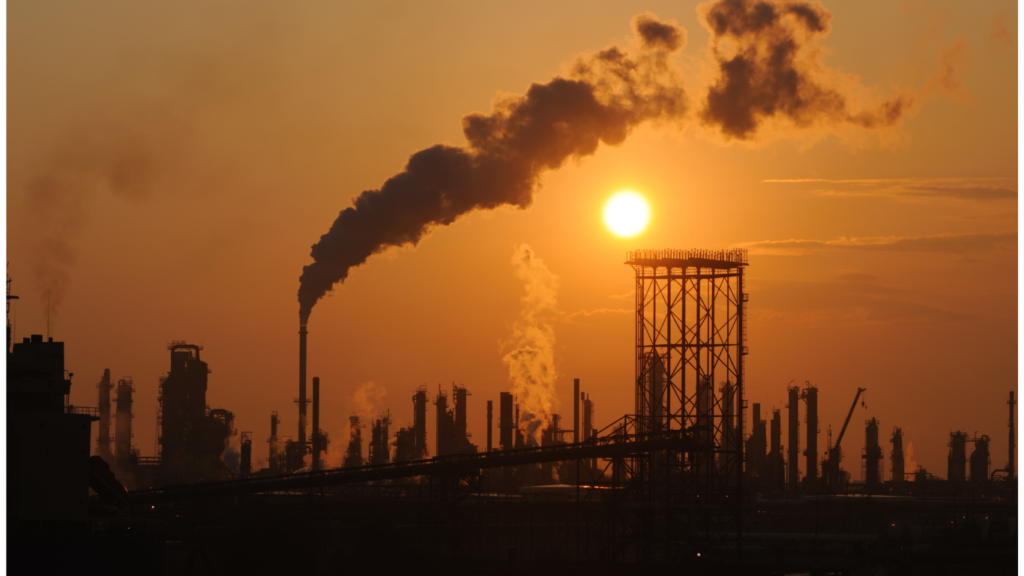
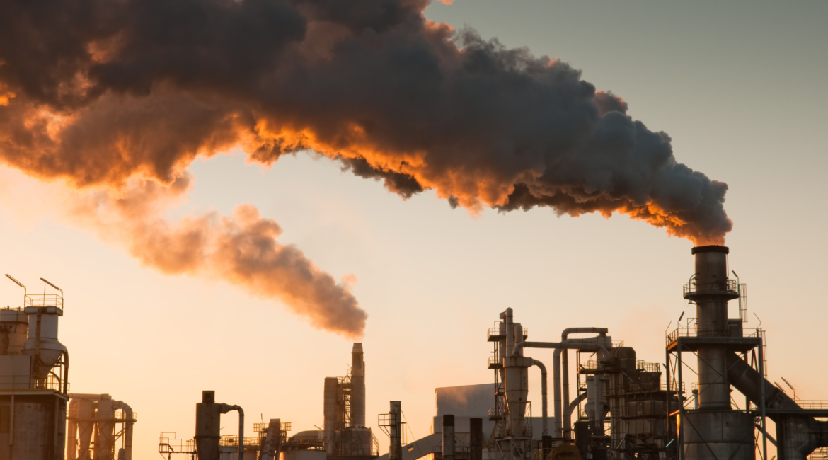
Air pollution is a growing concern in many densely populated cities, including Riyadh, Dammam, and Jeddah. As these urban centers expand, finding effective ways to manage pollution is essential for the health and well-being of residents. One innovative approach is combining temperature mapping with air quality data to develop better pollution management strategies.
The Role of Temperature Mapping in Pollution Control
Temperature mapping involves collecting detailed data on temperature variations across different areas of a city. This information is crucial because temperature changes can significantly influence air quality. For instance, higher temperatures can lead to the formation of ground-level ozone, a harmful pollutant that affects respiratory health. By understanding where heat builds up in urban environments, city planners and environmental agencies can target areas where pollution is likely to be most severe.

Integrating Air Quality Data
By integrating temperature mapping with air quality data, we can create a more comprehensive view of pollution patterns. For example, areas that consistently experience high temperatures may also have poor air circulation, causing pollutants to become trapped. This knowledge helps policymakers and urban planners take proactive steps to reduce pollution, such as adjusting traffic flow, increasing green spaces, or improving ventilation in specific areas.
Benefits of the Synergy Between Temperature and Air Quality Data
- Targeted Pollution Reduction: Combining temperature and air quality data allows for more precise interventions in areas with the highest pollution levels.
- Healthier Urban Planning: City planners can design layouts that minimize heat and pollution build-up, improving air quality for residents.
- Improved Public Health: Reducing exposure to high temperatures and pollutants can lower the risk of respiratory illnesses, benefiting the overall health of the population.
- Sustainable Solutions: By using this data, cities can implement long-term strategies to combat pollution while considering the impact of urban heat islands.
The Role of Redlines
At Redlines, we specialize in providing temperature mapping services in Riyadh, Dammam, and Jeddah. Our advanced technology helps identify heat hotspots and integrate them with air quality data, allowing cities to develop effective pollution control strategies. Our work contributes to creating healthier and more livable urban environments in Saudi Arabia’s major cities.
Conclusion
The combination of temperature mapping and air quality control is a powerful tool in the fight against air pollution. By understanding how temperature impacts pollution levels, city planners and policymakers can create more targeted, efficient solutions to improve air quality and protect public health. With the help of Redlines and our expert temperature mapping services, Riyadh, Dammam, and Jeddah can take meaningful steps toward a cleaner, healthier future.
you can get more information on our site: Redlines.com


