رسم خرائط المناخات المحلية: الاستفادة من تباين درجات الحرارة لتخطيط الأحياء بشكل فعّال (Temperature)

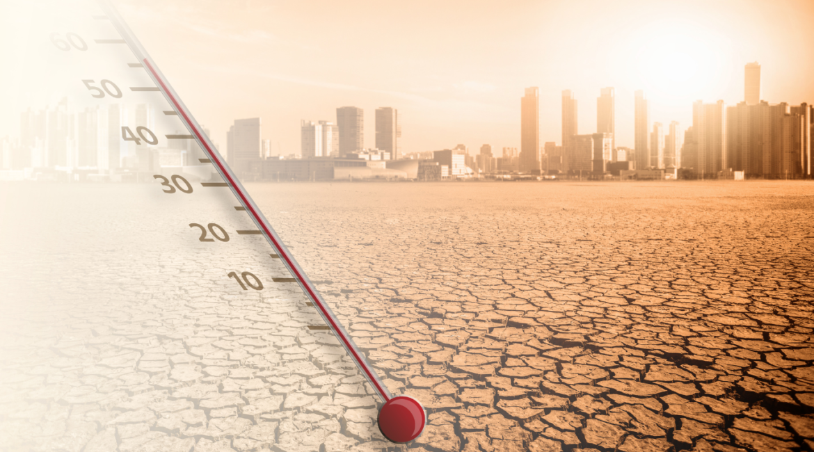
تتألف المدن الكبيرة مثل جدة والدمام والرياض من أحياء متنوعة، لكل منها خصائص مناخية فريدة ناتجة عن عوامل مثل مواد البناء والغطاء النباتي وتصميم الشوارع. هذه الأنماط المناخية المحلية، أو ما يُعرف بالمناخات الدقيقة (Microclimates)، تؤثر بشكل كبير على الراحة وكفاءة الطاقة في المناطق السكنية والتجارية. يلعب Temperature Mapping دورًا

Read More

Mapping Microclimates: Leveraging Temperature Variations for Effective Neighborhood Planning

Urban areas like Jeddah, Dammam, and Riyadh are composed of diverse neighborhoods, each with unique temperature characteristics influenced by factors such as building materials, vegetation, and street layouts. These localized weather patterns, or microclimates, significantly impact the comfort and energy efficiency of residential and commercial areas. Temperature mapping plays a

Read More

بناء مدارس مقاومة لتغير المناخ: كيف تساهم تقنية Temperature Mapping في خلق بيئات تعليمية آمنة

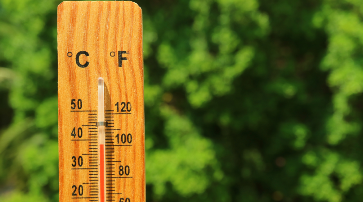
مع ارتفاع درجات الحرارة، يصبح ضمان بيئات مدرسية آمنة ومريحة أمراً بالغ الأهمية. تواجه المدارس في مدن مثل الرياض والدمام وجدة تحديات فريدة نتيجة الحرارة الشديدة، مما قد يؤثر على صحة الطلاب وتركيزهم ورفاهيتهم العامة. تقدم تقنية Temperature Mapping نهجاً علمياً موجهاً لتوجيه تصميم المدارس وتجديدها وإدارتها، مما يساهم في

Read More

Building Climate-Resilient Schools: How Temperature Mapping Helps Create Safer Learning Environments

As temperatures rise, ensuring safe and comfortable school environments becomes increasingly important. Schools in cities like Riyadh, Dammam, and Jeddah face unique challenges due to extreme heat, which can affect students’ health, concentration, and overall well-being. Temperature mapping offers a science-driven approach to guide the design, renovation, and management of

Read More

Seasonal Heat Variation Temperature Mapping: Preparing Riyadh, Dammam, and Jeddah for Changing Climate Patterns

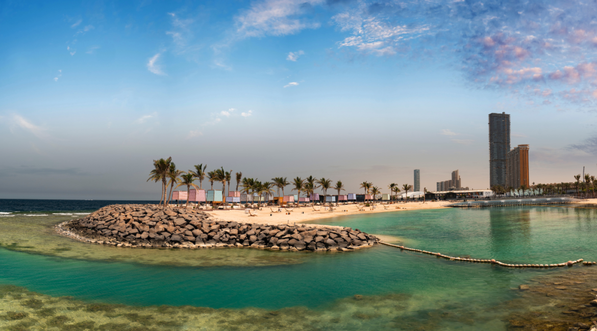
As climate change reshapes weather patterns worldwide, cities like Riyadh, Dammam, and Jeddah are particularly vulnerable to rising temperatures. Adapting to these shifts requires understanding the unique ways that temperatures vary throughout the year. Through seasonal temperature mapping, urban planners gain the ability to track how temperatures fluctuate across different

Read More

رسم خرائط التغيرات الحرارية الموسمية: تحضير الرياض والدمام وجدة للتكيف مع تغيرات المناخ

مع تغير أنماط المناخ، يصبح فهم التغيرات الحرارية الموسمية أمرًا بالغ الأهمية لتحضير مدن مثل الرياض والدمام وجدة للتعامل مع التحديات الناتجة عن ارتفاع درجات الحرارة. ويساعد temperature mapping في تتبع التغيرات في درجات الحرارة على مدار السنة، مما يوفر للمخططين الحضريين ومسؤولي الخدمات رؤى ضرورية لتعزيز البنية التحتية والخدمات

Read More

Temperature Mapping and Water Resource Management: Safeguarding Water Infrastructure in High-Heat Zones

Cities like Riyadh, Dammam, and Jeddah face significant challenges regarding water infrastructure due to extreme heat. Temperature mapping is a key tool that helps planners and engineers strategically design and distribute water infrastructure to ensure its efficiency and resilience. By understanding how heat impacts various areas, they can make informed

Read More

Temperature Mapping وإدارة الموارد المائية: حماية البنية التحتية للمياه في مناطق الحرارة العالية

تواجه مدن مثل الرياض، الدمام، وجدة تحديات كبيرة فيما يتعلق بالبنية التحتية للمياه بسبب درجات الحرارة المرتفعة. Temperature mapping هو أداة أساسية تساعد المخططين والمهندسين في توجيه تصميم وتوزيع البنية التحتية للمياه بشكل يضمن كفاءتها واستدامتها. من خلال فهم كيف تؤثر الحرارة على المناطق المختلفة، يمكنهم اتخاذ قرارات أفضل حول

Read More

تحسين المساحات الخضراء العامة باستخدام Temperature Mapping: تصميم حدائق مريحة في المناطق الحضرية في السعودية

في مدن مثل الرياض، الدمام، وجدة، يمكن أن تجعل درجات الحرارة المرتفعة الحدائق العامة أقل راحة، مما يقلل من جاذبيتها واستخدامها. Temperature mapping هو أداة قيمة للمخططين الحضريين ومصممي المناظر الطبيعية، حيث يقدم بيانات دقيقة للمساعدة في إنشاء حدائق أكثر برودة وراحة. من خلال فهم أنماط الحرارة في المناطق الحضرية،

Read More

Optimizing Public Green Spaces with Temperature Mapping: Designing Comfortable Parks in Urban Saudi Areas

In cities like Riyadh, Dammam, and Jeddah, rising temperatures can make public parks uncomfortable, reducing their appeal and use. Temperature mapping is a valuable tool for urban planners and landscape designers, offering precise data to create cooler, more enjoyable parks. By understanding temperature patterns across urban areas, we can design

Read More

Redlines, we provide excellent temperature and humidity mapping and qualification studies for warehouses, cold rooms, small and medium vehicles, reefer trucks and refrigerators in Riyadh, Dammam, Jeddah and all Saudi Arabia. 

Contact

Email

sales@redlines.com.sa

Address

Saudi Arabia

Office Hours

Sat – Thu 09:00am - 06:00pm