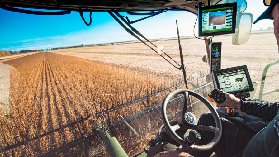
In Saudi Arabia’s dry climate, farming is tough. Places like Riyadh, Dammam, and Jeddah struggle with not enough water and really hot weather. But there’s hope! Using something called temperature mapping is making farming better. It helps farmers know when to plant, how much water to use, and how to keep bugs away.
Problems in Farming
Saudi Arabia has a lot of farming problems. There’s not enough water, it’s super hot, and the soil isn’t great. These things make it hard for crops to grow well.

How Temperature Mapping Helps
Temperature mapping uses fancy tools to watch how hot or cold fields are. This helps farmers make smart choices about when to plant, how much water to give, and how to stop bugs from ruining crops.
Best Times to Plant
With temperature maps, farmers know the best times to plant different crops. In places like Riyadh, Dammam, and Jeddah, where it gets really hot, knowing when to plant helps crops grow better without getting too stressed from the heat.
Saving Water with Smart Watering
Water is scarce in Saudi Arabia. Temperature mapping helps farmers know exactly how much water their crops need. This way, they can water their crops just enough to help them grow well, without wasting any water.
Keeping Bugs Away
Temperature maps also show when bugs might attack crops. By knowing this, farmers can use things like bug sprays at just the right time to keep their crops safe.
Our Help in Saudi Arabia
We offer temperature mapping services in Riyadh, Dammam, Jeddah, and all over Saudi Arabia. Our technology and expertise help farmers make better decisions about planting, watering, and protecting their crops.
Conclusion
Temperature mapping is like a superhero for farming in Saudi Arabia. It helps farmers grow better crops by telling them when to plant, how much water to use, and how to keep bugs away. With our help, farmers in Riyadh, Dammam, Jeddah, and beyond can tackle farming challenges and grow more food even in tough conditions.
you can get more information in our site : Redlines.com


