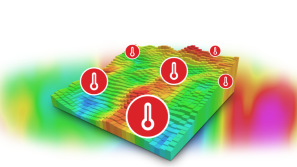
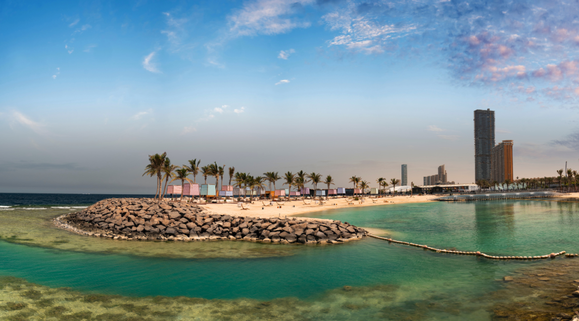
In cities like Riyadh, Dammam, and Jeddah, rising temperatures can make public parks uncomfortable, reducing their appeal and use. Temperature mapping is a valuable tool for urban planners and landscape designers, offering precise data to create cooler, more enjoyable parks. By understanding temperature patterns across urban areas, we can design green spaces with well-placed vegetation and shade structures to make them more comfortable.

How Temperature Mapping Helps Create Cooler Parks
Temperature mapping identifies hot zones within a city, allowing planners to strategically plant trees and install shade structures in areas that need cooling. By targeting these heat-prone spots, parks can stay cooler, encouraging more residents to visit and enjoy these spaces. This process makes it easier to:
- Place Trees and Shade Structures Effectively: Temperature mapping shows where shade is most needed, guiding the placement of trees, pergolas, and canopies to maximize cooling.
- Choose Resilient Plants: With temperature insights, planners can select vegetation suited to the specific heat levels of different areas, ensuring the plants thrive while providing shade.
- Plan for Cool Spaces Year-Round: By identifying how heat changes through the seasons, designers can ensure that parks stay cool and comfortable, even during the hottest months.
The Role of Redlines in Temperature Mapping for Green Spaces
At Redlines, we provide temperature mapping services in Riyadh, Dammam, and Jeddah, enabling city planners and landscape architects to create parks that offer a cool retreat in urban areas. By analyzing temperature patterns, we help create spaces where people can relax and enjoy the outdoors, even in the Saudi heat.
you can get more information on our site: Redlines.com


