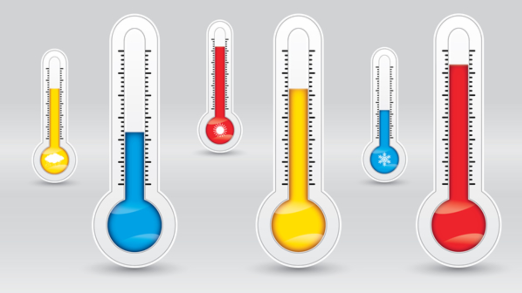
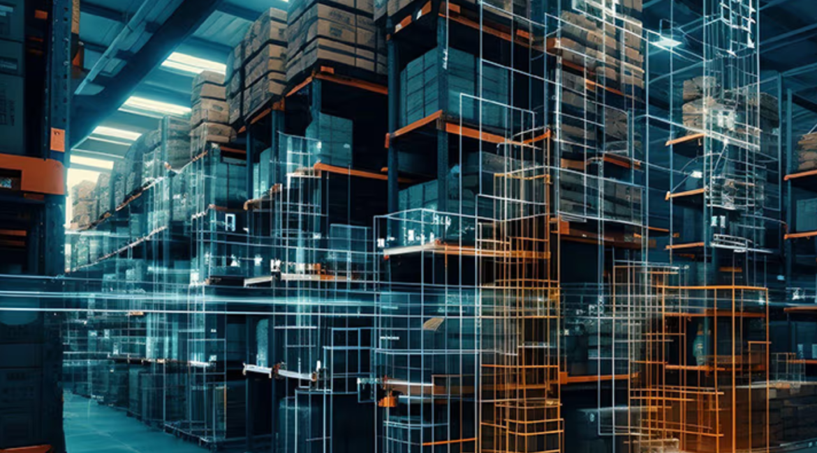
As urban areas grow, cities like Riyadh, Dammam, and Jeddah face unique challenges due to rising temperatures. The solution to this problem lies in temperature mapping, a scientific process used to understand and control heat in these regions. At Redlines, we specialize in offering temperature mapping services that provide crucial insights for urban planners and developers to build cooler, more livable environments.
What Is Temperature Mapping?
Temperature mapping is a method of collecting and analyzing temperature data across various locations in a city. This process involves using technologies like ground sensors, satellites, and drones to gather accurate temperature readings. By visualizing this data on detailed maps, we can identify “hot zones” or urban heat islands—areas that are significantly warmer due to human activities like construction, traffic, and industrialization.

How Does Temperature Mapping Work?
- Data Collection: Sensors are deployed across the city to collect temperature data at different times of the day. We also use satellite imagery and drones equipped with infrared cameras to cover large and hard-to-reach areas.
- Data Processing: The data is then processed using Geographic Information Systems (GIS) to create maps that show temperature variations. These maps clearly highlight areas where heat accumulates, such as busy streets, industrial zones, and densely populated neighborhoods.
- Identifying Heat Islands: Temperature mapping allows us to spot urban heat islands, where temperatures are much higher than surrounding areas. These zones often need targeted solutions to cool them down and improve the quality of life for residents.
- Analyzing Trends: By analyzing temperature data over time, we can observe patterns, such as how certain areas become hotter during specific months or how infrastructure affects heat distribution. This is vital for long-term city planning and climate control.
Why Is Temperature Mapping Important for Heat Control?
Cities like Riyadh, Dammam, and Jeddah are particularly vulnerable to high temperatures due to their geographic locations and rapid urbanization. As temperatures rise, urban areas become less comfortable and more hazardous for people’s health. Temperature mapping helps us understand which areas are most affected by heat and offers solutions to address these challenges.
For example, data from temperature mapping can inform where to place:
- Green spaces: Trees and parks reduce surface temperatures by providing shade and absorbing heat.
- Water features: Fountains and lakes act as natural cooling systems.
- Building materials: Heat-reflective materials can be used to design buildings that reduce heat absorption.
How Redlines Is Leading the Way
At Redlines, we provide temperature mapping services in Riyadh, Dammam, and Jeddah to help urban planners, architects, and city officials make data-driven decisions. Our technology offers precise, real-time temperature data that is vital for designing cooler, more comfortable cities. Whether it’s creating shaded walkways, optimizing traffic routes to reduce heat buildup, or planning sustainable building designs, temperature mapping is an essential tool for future urban development.
By using temperature mapping, we’re not just addressing the heat but helping create cities that are healthier and more livable for their residents. At Redlines, we’re proud to be at the forefront of this innovation, ensuring that the growing cities of Riyadh, Dammam, and Jeddah are prepared for a cooler, sustainable future.
Conclusion
In today’s world, managing heat in urban environments is more important than ever. Temperature mapping provides the insights necessary to control and reduce excessive heat in cities like Riyadh, Dammam, and Jeddah. By partnering with Redlines, urban planners and developers can take a scientific approach to designing cities that are not only sustainable but also more comfortable for everyone.
you can get more information on our site: Redlines.com


